![[내일날씨] Fine dust riding on the 8th day… Rain all over the place until dawn](https://image.news1.kr/system/photos/2021/3/14/4664738/article.jpg "[내일날씨] Fine dust riding on the 8th day… Rain all over the place until dawn")
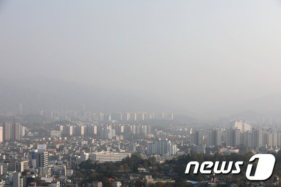 |
| Fine dust. (material photo) © News1 |
On Tuesday, the 16th, fine dust is expected to rise in the warm weather. Fine dust from northeastern China has been covering the sky for more than a week from the 9th.
The Meteorological Administration predicted that the whole country will gradually be affected by high pressure going southeast in northern China. If you are in the sphere of influence of high pressure, air circulation is difficult and the concentration of fine dust increases.
As the warm southwest wind inflows and the temperature rises, the daytime temperature in most regions of the country is expected to rise to around 15 degrees Celsius. In particular, in Jeollanam-do and Gyeongsang-do, there may be places that rise above 20 degrees.
The lowest temperature in the morning is expected to be -1 to 12 degrees Celsius, and the highest temperature in the daytime is expected to be 11 to 21 degrees Celsius.
The minimum temperature by region is expected to be △3 degrees in Seoul △3 degrees in Incheon △2 degrees in Chuncheon △7 degrees in Gangneung △5 degrees in Daejeon △9 degrees in Daegu △12 degrees in Busan △7 degrees in Jeonju △9 degrees in Gwangju △12 degrees in Jeju.
The expected maximum temperature during the day is △13 degrees in Seoul △11 degrees in Incheon △14 degrees in Chuncheon △16 degrees in Gangneung △14 degrees in Daejeon △17 degrees in Daegu △19 degrees in Busan △15 degrees in Jeonju △16 degrees in Gwangju △14 degrees in Jeju.
The concentration of fine dust is expected to be’bad’ in southern Gyeonggi, Chungbuk, and Daegu, and’normal’ in other areas. The air quality is expected to be poor in some areas of the central and southern interior areas due to the remaining fine dust on the previous day.
Raindrops can fall in the southern regions. Rain starts the evening before and stops in the metropolitan area, Gangwon Yeongseo, and Chungnam areas early in the early morning of the 16th, and will stop in most areas at late dawn, but there are some places in Jeju Island that continue until morning.
Estimated precipitation between 6 pm on the 15th and 9 am on the 16th is △10~40㎜ in Jeju Island △5~10㎜ in the Jeonnam area △Jeonbuk (excluding the east coast of Gangwon) and the inland of Jeonbuk and the western part of Gyeongnam, the southern coast of the Gyeongnam area, Ulleungdo and Dokdo 5㎜ Inside and outside.
Due to the rain that fell on that day, the visibility distance between the night of the 15th and the morning of the 16th is expected to be very short, with a distance of less than 200m in the southern and southern seas of the West Sea and the seas of Jeju Island.
After the rain stops, it is expected that most areas of the country will be clear due to the influence of high pressure.
Strong winds are expected in Yeongdong, Gangwon and Gyeongbuk. Between the afternoon of the 15th and the dawn of the 16th, winds of 25-50 km/h are expected to blow in Yeongdong, Gangwon-do, and between the dawn of the 16th and the morning of the 16th in the northeastern mountainous region of Gyeongbuk and the east coast of Gyeongbuk. In particular, there are places in the mountainous areas of Gangwon that blow strongly with a maximum instantaneous wind speed of 70 km or more.
The wave of the sea is expected to rise from 0.5 to 1.5 m off the west sea, 0.5 to 1.0 m off the south sea, 0.5 to 2.0 m off the east sea, and up to 3.0 m on the west and east seas, and 2.0 m on the south sea far sea.
In the far sea of the West Sea and in the middle of the East Sea, the wind blows strongly at a speed of 30 to 50 km per hour, and the wave is expected to be as high as 1.0 to 3.0 m.